Sycamore, Kansas facts for kids
Quick facts for kids
Sycamore, Kansas
|
|
|---|---|

|
|
| Country | United States |
| State | Kansas |
| County | Montgomery |
| Time zone | UTC-6 (CST) |
| • Summer (DST) | UTC-5 (CDT) |
| ZIP code |
67363
|
| Area code | 620 |
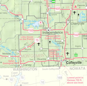
Sycamore is an unincorporated community in northern Montgomery County, Kansas, United States. It lies along U.S. Route 75 north of the city of Independence.
Contents
History
Sycamore had its start by the building of the railroad through that territory.
The post office, established as Lay in 1887, was renamed Sycamore in 1896.
Climate
The climate in this area is characterized by hot, humid summers and generally mild to cool winters. According to the Köppen Climate Classification system, Sycamore has a humid subtropical climate, abbreviated "Cfa" on climate maps.
Demographics
For statistical purposes, the United States Census Bureau has defined this community as a census-designated place (CDP).
Education
The community is served by Independence USD 446 public school district.

All content from Kiddle encyclopedia articles (including the article images and facts) can be freely used under Attribution-ShareAlike license, unless stated otherwise. Cite this article:
Sycamore, Kansas Facts for Kids. Kiddle Encyclopedia.


