Wakarusa, Kansas facts for kids
Quick facts for kids
Wakarusa, Kansas
|
|
|---|---|

|
|
| Country | United States |
| State | Kansas |
| County | Shawnee |
| Area | |
| • Total | 4.999 sq mi (12.95 km2) |
| • Land | 4.965 sq mi (12.86 km2) |
| • Water | 0.034 sq mi (0.09 km2) |
| Elevation | 951 ft (290 m) |
| Population | |
| • Total | 260 |
| • Density | 52.0/sq mi (20.1/km2) |
| Time zone | UTC-6 (CST) |
| • Summer (DST) | UTC-5 (CDT) |
| ZIP code |
66546
|
| Area code | 785 |
| FIPS code | 20-74425 |
| GNIS ID | 479077 |
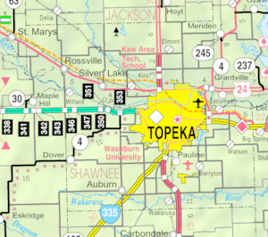
Wakarusa is an unincorporated community in Shawnee County, Kansas, United States. Wakarusa is 11 miles (18 km) south of downtown Topeka. Wakarusa has a post office with ZIP code 66546. As of the 2010 census, its population was 260. Wakarusa is also the name of an unincorporated community in adjacent Douglas County, Kansas, 6.6 mi (10.6 km) southwest of downtown Lawrence and the name of the township that includes Lawrence, Kansas.
Demographics
For statistical purposes, the United States Census Bureau has defined Wakarusa as a census-designated place (CDP).
Education
The community is served by Auburn–Washburn USD 437 public school district.
See also
 In Spanish: Wakarusa (Kansas) para niños

All content from Kiddle encyclopedia articles (including the article images and facts) can be freely used under Attribution-ShareAlike license, unless stated otherwise. Cite this article:
Wakarusa, Kansas Facts for Kids. Kiddle Encyclopedia.


