Ilchester, Maryland facts for kids
Quick facts for kids
Ilchester, Maryland
|
|
|---|---|

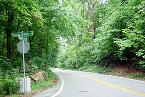
Beechwood Road and Bonnie Branch Road in Ilchester
|
|
| Country | |
| State | |
| County | Howard |
| Settled | 1761 |
| Named for | Ilchester |
| Area | |
| • Total | 10.82 sq mi (28.02 km2) |
| • Land | 10.76 sq mi (27.86 km2) |
| • Water | 0.06 sq mi (0.16 km2) |
| Elevation | 100 ft (30 m) |
| Population
(2020)
|
|
| • Total | 26,824 |
| • Density | 2,494.10/sq mi (962.96/km2) |
| Time zone | UTC−5 (Eastern (EST)) |
| • Summer (DST) | UTC−4 (EDT) |
| FIPS code | 24-41475 |
| GNIS feature ID | 588678 |
Ilchester is an unincorporated community and census-designated place in Howard County, Maryland, United States. The population was 23,476 at the 2010 census. It was named after the village of Ilchester in the English county of Somerset.
Contents
History

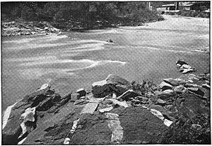
In 1761, John Cornthwaite founded a wood grist mill called the Dismal Mill about 2 miles (3 km) southeast of Ellicott City on the western shore of the Patapsco River. The Ellicott family (John, Andrew, and Joseph Ellicott) settled in the area in the late 18th century buying a two-mile section of the Patapsco in 1772 that included Ilchester and Ellicott Mills. The Baltimore and Ohio Railroad (B&O) was built up the Patapsco River valley through Ilchester in 1830 (see Old Main Line Subdivision), and George Ellicott, Jr. (grandson of Andrew) built a tavern and cooper shop along the railroad. The Thistle Manufacturing Company built a factory in 1837. Ilchester did not become a major stop for the B&O due to its steep grades, and the tavern was unsuccessful. In 1842, mail service was started with the station name "Illchester Mills".
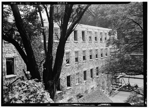
Ellicott sold his tavern and 110 acres of land to a Redemptorist church order in 1866. The church used the Ellicott estate to start a college, initially called Mount Saint Clemens when it opened in 1868. Several additions to the original building were made, and a chapel was constructed. In 1882 it was renamed Saint Mary's College. In 1893 the chapel was established as a parish church dedicated to "Our Lady of Perpetual Help". The parish moved the church to a new facility in 1958. Enrollment at the college declined, and the college was closed in 1972. The State of Maryland purchased a portion of the campus in 1987 and added the land to adjacent Patapsco Valley State Park.
In 1949, the Baltimore Council of the Girls Scouts purchased "Camp Ilchester", which has remained in operation to date as a girl scout camp.
Geography
Ilchester is located at 39°15′03″N 76°45′53″W / 39.25083°N 76.76472°W (39.2509, -76.7647). It is situated in Howard County, Maryland, between Ellicott City to the northwest and Elkridge to the southeast. Columbia is to the southwest. The Patapsco River forms the northeast boundary of the community and serves as the county line, with Baltimore County and the community of Catonsville across the river.
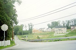
The original mill community of Ilchester is located along the Patapsco River at the junction of Ilchester Road and Bonnie Branch Road. However, the current CDP extends southwest to include the suburban terrain of Howard County outside of the Patapsco River valley. Maryland Route 103, Montgomery Road, is the main local road through the CDP. Maryland Route 100 is a freeway that runs through the southern part of Ilchester, serving the community at Exit 4 with Montgomery Road. To the south, Route 100 intersects with Interstate 95, which forms the southeastern boundary of the Ilchester CDP.
According to the United States Census Bureau, the CDP has a total area of 10.8 square miles (28.0 km2), of which 10.7 square miles (27.8 km2) is land and 0.08 square miles (0.2 km2), or 0.57%, is water.
Demographics
| Historical population | |||
|---|---|---|---|
| Census | Pop. | %± | |
| 2020 | 26,824 | — | |
|
|
|||
See also
 In Spanish: Ilchester (Maryland) para niños


