
Image: Detail of CA-99 viewed from I-5 northbound near the Tejon Pass in Lebec, California
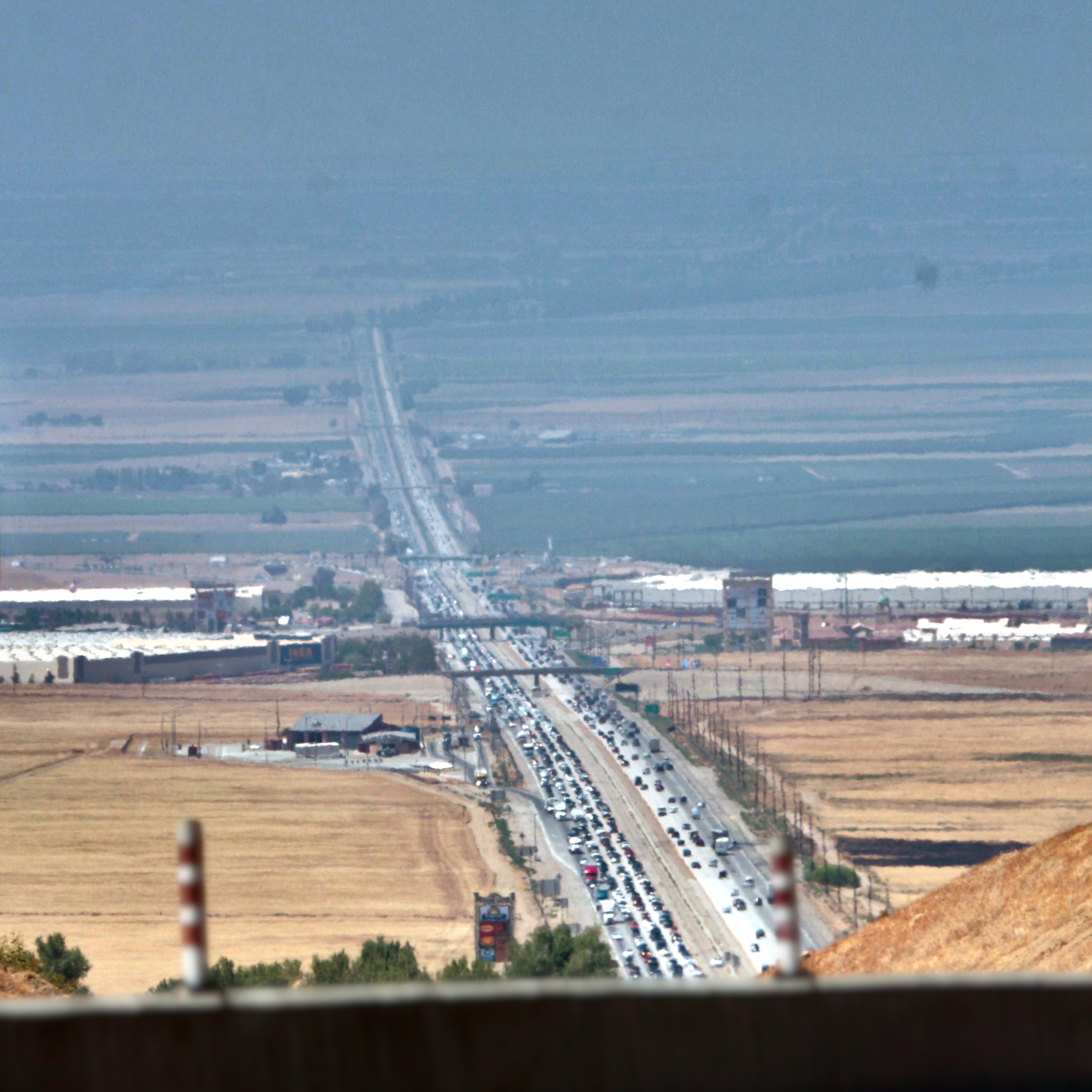
Description: Much as the previous one (File:CA-99 viewed from I-5 northbound near the Tejon Pass in Lebec, California.JPG), but this one is specifically of CA-99 and the Wheeler Ridge Interchange. Camera location 34° 54′ 46.64″ N, 118° 55′ 23.8″ W View this and other nearby images on: OpenStreetMap 34.912955; -118.923278 Coordinates for the overpasses, since those are easily seen: First from bottom: Unnamed canal road, 34.972370824515046, -118.94085333371474 Second: S Wheeler Ridge Rd, 34.98639027394168, -118.94529263983678 Third: West Side Fwy flyover (I-5, Wheeler Ridge Interchange), 35.01852421802179, -118.95545061045831 Fourth: SR-166 flyover, 35.0578130108648, -118.96782957843227 Fifth: David Rd, 35.094459740022806, -118.97956374493931 Sixth: Sandrini Rd, 35.12195468152039, -118.9881216288916 Seventh: Herring Rd, 35.15008686935864, -118.99708762404487 Eighth: SR-99B flyover, 35.172911885332276, -119.00434478622316
Title: Detail of CA-99 viewed from I-5 northbound near the Tejon Pass in Lebec, California
Credit: A freakin' camera.
Author: JPxG
Usage Terms: Creative Commons Attribution-Share Alike 4.0
License: CC BY-SA 4.0
License Link: https://creativecommons.org/licenses/by-sa/4.0
Attribution Required?: Yes
Image usage
The following 2 pages link to this image:
