
Image: Dublin map

Size of this preview: 746 × 600 pixels. Other resolutions: 299 × 240 pixels | 914 × 735 pixels.
Original image (914 × 735 pixels, file size: 692 KB, MIME type: image/png)
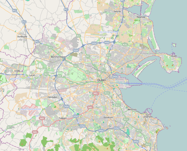
Description: Dublin city location map.
Title: Dublin map
Credit: http://www.openstreetmap.org
Author: http://www.openstreetmap.org
Permission: OpenStreetMap is a free editable map of the whole world. It is made by people like you.
Usage Terms: Creative Commons Attribution-Share Alike 3.0
License: CC BY-SA 3.0
License Link: https://creativecommons.org/licenses/by-sa/3.0
Attribution Required?: Yes
Image usage
The following 45 pages link to this image:
- Ashtown, Dublin
- Blackrock, Dublin
- Blanchardstown
- Cabra, Dublin
- Churchtown, Dublin
- Dalkey Island
- Dalkey Quarry
- Donaghcumper Church
- Dublin Bay
- Dundrum, Dublin
- Dún Laoghaire
- Grosvenor Square, Dublin
- Howth
- Ireland's Eye
- Johnstown, Dublin
- Kenilworth Square
- Kill of the Grange
- Killiney Church
- Kilmashogue
- Kiltiernan Tomb
- Lucan, Dublin
- Malahide
- Marino, Dublin
- Monkstown, County Dublin
- Mount Pleasant Square
- Ongar, Dublin
- Park Avenue, Dublin
- Phibsborough
- Portobello, Dublin
- Ranelagh
- Rathmines
- Richmond Barracks
- Sandycove
- Sandymount Avenue
- Shelbourne Road
- St. Wolstan's Priory
- Stepaside, Dublin
- Swords, Dublin
- Swords Castle
- Temple Bar, Dublin
- The Liberties, Dublin
- Three Rock Mountain
- Tully Church
- Two Rock
- Whitehall, Dublin

All content from Kiddle encyclopedia articles (including the article images and facts) can be freely used under Attribution-ShareAlike license, unless stated otherwise.