
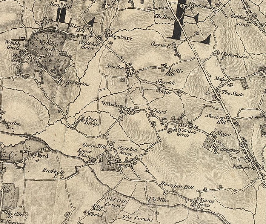
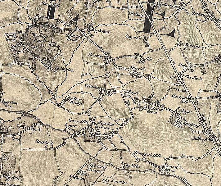
Image: Historical Brent Map
Size of this preview: 712 × 599 pixels. Other resolutions: 285 × 240 pixels | 891 × 750 pixels.
Original image (891 × 750 pixels, file size: 438 KB, MIME type: image/jpeg)
Description: Historical Map of London Borough of Brent
Title: Historical Brent Map
Credit: Original publication: 1872 Immediate source: http://www.visionofbritain.org.uk/place/20376
Author: John Marius Wilson (Life time: 1800s - 1880s)
Permission: Published over 125 years ago
Usage Terms: Public domain
License: Public domain
Attribution Required?: No
Image usage
The following page links to this image:

All content from Kiddle encyclopedia articles (including the article images and facts) can be freely used under Attribution-ShareAlike license, unless stated otherwise.