
Image: Kent-1885-twp-co
No higher resolution available.
Kent-1885-twp-co.jpg (400 × 563 pixels, file size: 77 KB, MIME type: image/jpeg)
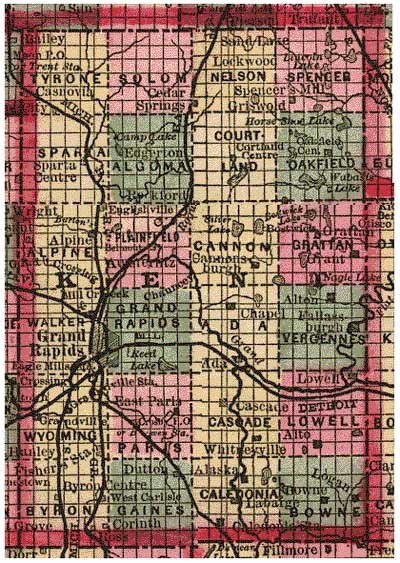
Description: 1885 Kent County Michigan USA map illustrating township-section system Includes towns, townships, lakes, etc.
Title: Kent-1885-twp-co
Credit: Scanned and placed online by the Library of Congress. Call no. G4110 1885.C7 RR239. Published by Cram & Stebbins, Chicago, 1885.
Usage Terms: Public domain
License: Public domain
Attribution Required?: No
Image usage
The following page links to this image:

All content from Kiddle encyclopedia articles (including the article images and facts) can be freely used under Attribution-ShareAlike license, unless stated otherwise.