
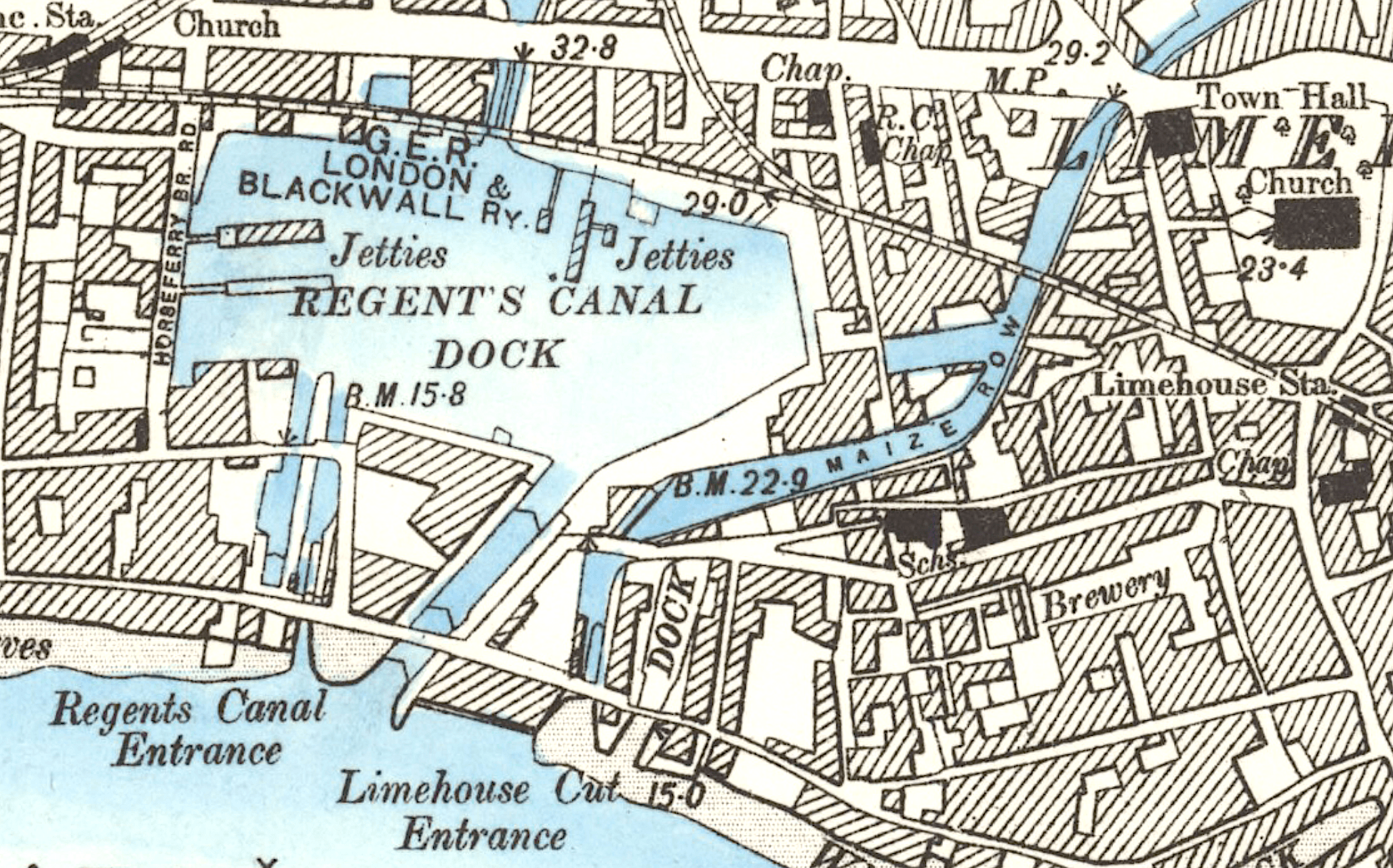
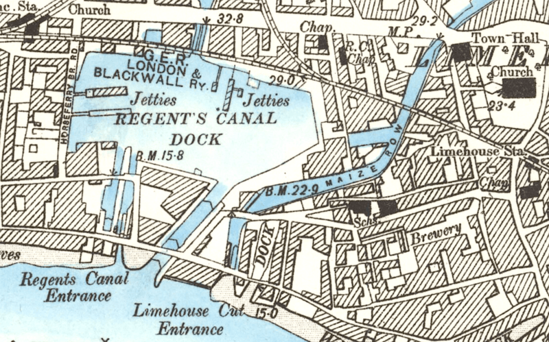
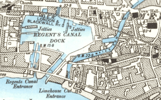
Image: Limehouse Basin and Cut
Size of this preview: 800 × 499 pixels. Other resolutions: 320 × 199 pixels | 2,055 × 1,281 pixels.
Original image (2,055 × 1,281 pixels, file size: 5.14 MB, MIME type: image/png)
Description: The 19th century link between the Regent's Canal Dock and the Limehouse Cut was short lived . This map shows the situation after it was filled in (1864), restoring the Cut's independence.
Title: Limehouse Basin and Cut
Credit: National Library of Scotland
Author: Ordnance Survey
Usage Terms: Public domain
License: Public domain
Attribution Required?: No
Image usage
The following page links to this image:

All content from Kiddle encyclopedia articles (including the article images and facts) can be freely used under Attribution-ShareAlike license, unless stated otherwise.