
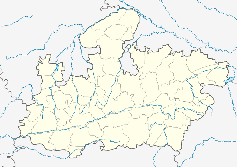
Image: Madhya Pradesh districts location map big

Size of this PNG preview of this SVG file: 800 × 563 pixels. Other resolution: 320 × 225 pixels.
Original image (SVG file, nominally 1,041 × 732 pixels, file size: 179 KB)
Description: Locator map of Madhya Pradesh. Geographical limits of the map: * N: 27.15°N * S: 20.75°N * E: 83.1°E * W: 73.2°E
Title: Madhya Pradesh districts location map big
Credit: File:India Madhya Pradesh location map.svg
Author: Planemad, Nayvik, Yann (talk)
Usage Terms: Creative Commons Attribution-Share Alike 3.0
License: CC BY-SA 3.0
License Link: http://creativecommons.org/licenses/by-sa/3.0
Attribution Required?: Yes
Image usage
The following 4 pages link to this image:

All content from Kiddle encyclopedia articles (including the article images and facts) can be freely used under Attribution-ShareAlike license, unless stated otherwise.