
Image: Map of Dyer County, Tennessee (1836)
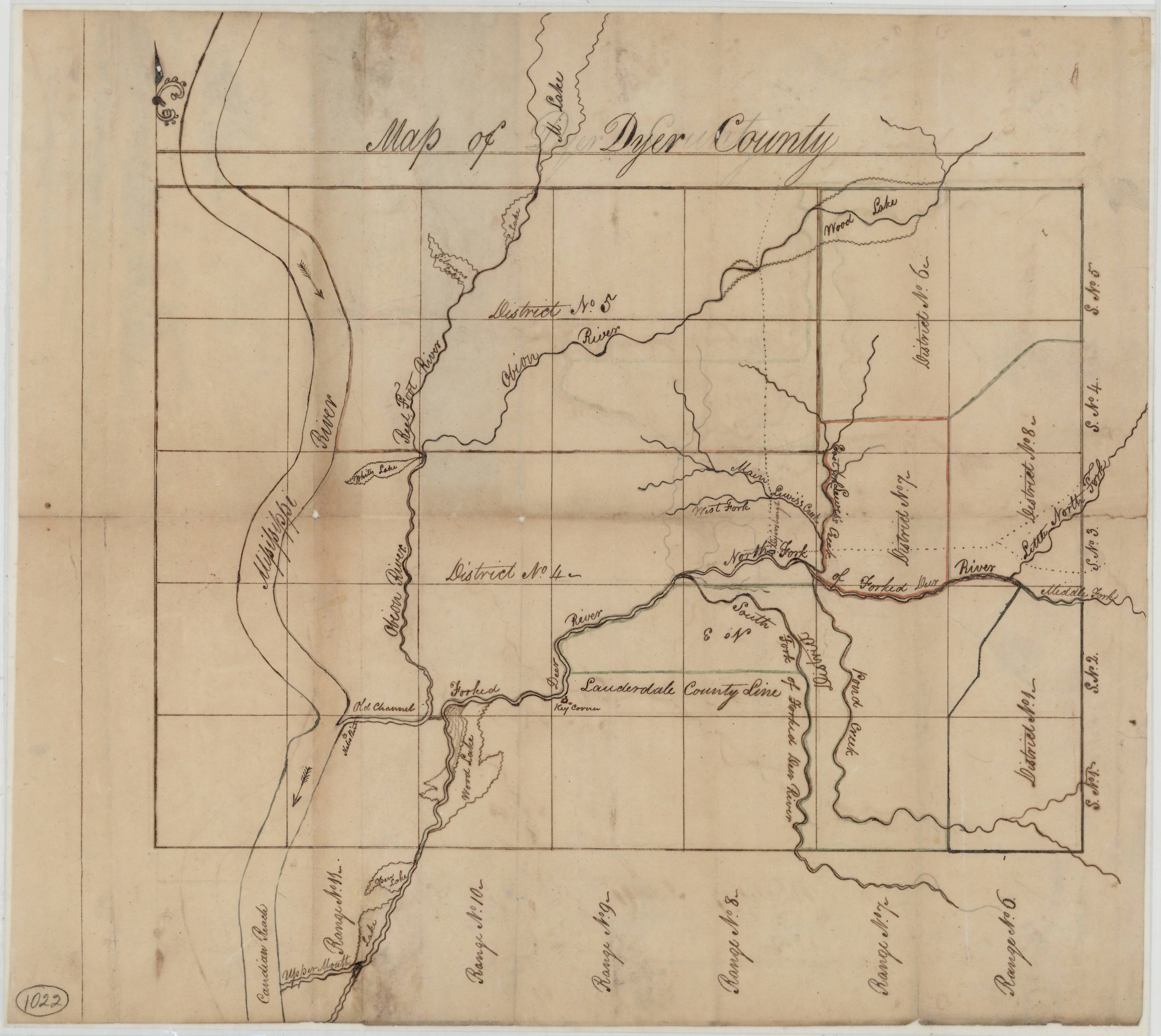
Description: Hand-drawn map of Dyer County showing civil districts, rivers, creeks, and lakes. Wood Lake, the remnant of a much longer waterway apparently created in the wake of the 1812-13 New Madrid earthquakes, is shown in two parts along with other old sloughs and channels from the former course of the Mississippi River. Key Corner, a famous landmark first designated by Henry Rutherford in his 1785 surveying expedition through West Tennessee (then Chickasaw territory), is also shown on the Forked Deer River. Range and section lines and numbers are indicated, as are early civil district boundaries.
Title: Map of Dyer County, Tennessee (1836)
Credit: https://teva.contentdm.oclc.org/digital/collection/p15138coll23/id/8837
Author: Author Unknown
Usage Terms: Public domain
License: Public domain
Attribution Required?: No
Image usage
The following 2 pages link to this image:

.jpg)