
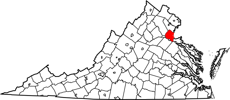
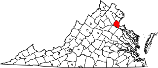
Image: Map of Virginia highlighting Stafford County

Size of this PNG preview of this SVG file: 800 × 347 pixels. Other resolution: 320 × 139 pixels.
Original image (SVG file, nominally 7,486 × 3,247 pixels, file size: 223 KB)
Description: This is a locator map showing Stafford County in Virginia. For more information, see Commons:United States county locator maps.
Title: Map of Virginia highlighting Stafford County
Credit: The maps use data from nationalatlas.gov, specifically countyp020.tar.gz on the Raw Data Download page. The maps also use state outline data from statesp020.tar.gz. The Florida maps use hydrogm020.tar.gz to display Lake Okeechobee.
Author: David Benbennick
Usage Terms: Public domain
License: Public domain
Attribution Required?: No
Image usage
The following 20 pages link to this image:
- Butzner Corner, Virginia
- Coal Landing, Virginia
- Cox Corner, Virginia
- Dahlgren Junction, Virginia
- Davis Corner, Stafford County, Virginia
- Dodds Corner, Virginia
- England Run, Virginia
- Fines Corner, Virginia
- Fritters Corner, Virginia
- List of cities and counties in Virginia
- McCarthys Corner, Virginia
- Moores Corner, Virginia
- National Register of Historic Places listings in Stafford County, Virginia
- Paynes Corner, Virginia
- Skidmore Corner, Virginia
- Stafford County, Virginia
- Stones Corner, Virginia
- Wallaces Corner, Virginia
- Wildcat Corner, Virginia
- Template:Stafford County, Virginia

All content from Kiddle encyclopedia articles (including the article images and facts) can be freely used under Attribution-ShareAlike license, unless stated otherwise.