
Image: Mexico Baja California location map

Size of this PNG preview of this SVG file: 512 × 478 pixels. Other resolution: 257 × 240 pixels.
Original image (SVG file, nominally 512 × 478 pixels, file size: 1.2 MB)
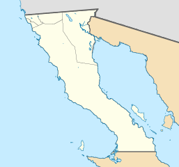
Description: Location map of Baja California. EPSG:3857 projection, Geographic limits of the map: N: 33.04° N S: 27.54° N W: 118° W E: 112° W
Title: Mexico Baja California location map
Credit: Sources of data: INEGI, Marco Geoestadístico Nacional, 2014. (Free use of the data)
Author: Addicted04
Usage Terms: Creative Commons Attribution-Share Alike 4.0
License: CC BY-SA 4.0
License Link: https://creativecommons.org/licenses/by-sa/4.0
Attribution Required?: Yes
Image usage
The following 24 pages link to this image:
- Ciudad Morelos, Baja California
- Coronado Islands
- El Rosario, Baja California
- Ensenada, Baja California
- Guadalupe Island
- Isla Cardonosa Este
- Isla Coronado
- Isla Partida (Baja California)
- Isla Ángel de la Guarda
- La Rumorosa
- Laguna Salada (Mexico)
- Maneadero
- Mexicali
- Misión San Fernando Rey de España de Velicatá
- Picacho del Diablo
- Pilot Knob (Imperial County, California)
- Progreso, Baja California
- Punta Colonet
- San Lorenzo Marine Archipelago National Park
- San Quintín, Baja California
- Sierra de Juárez
- Tiburón Island
- Tijuana
- Tijuana International Airport

All content from Kiddle encyclopedia articles (including the article images and facts) can be freely used under Attribution-ShareAlike license, unless stated otherwise.