
Image: NASA Satellite Captures Super Bowl Cities - Pawtucket and Foxborough (6813846675)
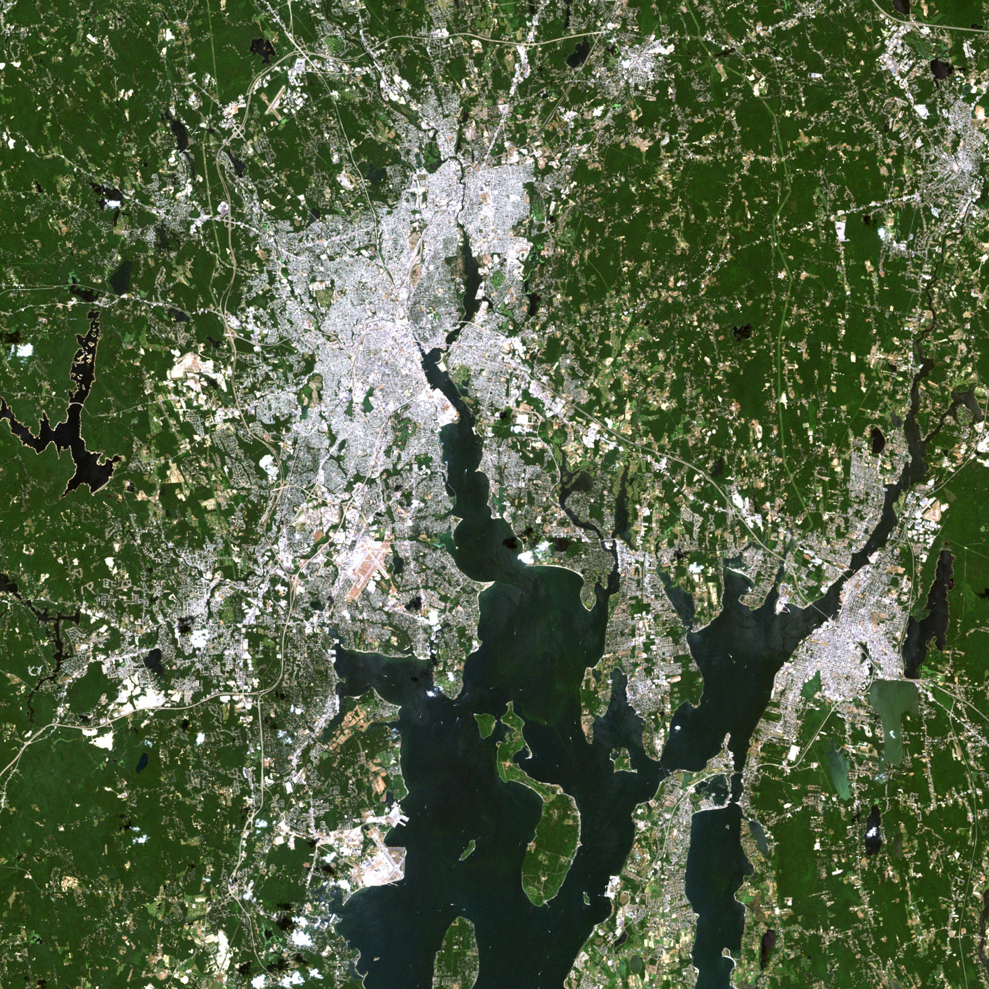
Description: Landsat 7 image of the Pawtucket and Foxborough area in Massachusetts acquired July 31, 2002. Landsat 7 is a U.S. satellite used to acquire remotely sensed images of the Earth's land surface and surrounding coastal regions. It is maintained by the Landsat 7 Project Science Office at the NASA Goddard Space Flight Center in Greenbelt, MD. Landsat satellites have been acquiring images of the Earth’s land surface since 1972. Currently there are more than 2 million Landsat images in the National Satellite Land Remote Sensing Data Archive. For more information visit: landsat.usgs.gov/ To learn more about the Landsat satellite go to: landsat.gsfc.nasa.gov/ Credit: NASA/GSFC/Landsat 7 NASA image use policy. NASA Goddard Space Flight Center enables NASA’s mission through four scientific endeavors: Earth Science, Heliophysics, Solar System Exploration, and Astrophysics. Goddard plays a leading role in NASA’s accomplishments by contributing compelling scientific knowledge to advance the Agency’s mission. Follow us on Twitter Like us on Facebook Find us on Instagram
Title: NASA Satellite Captures Super Bowl Cities - Pawtucket and Foxborough (6813846675)
Credit: NASA Satellite Captures Super Bowl Cities - Pawtucket and Foxborough
Author: NASA Goddard Space Flight Center from Greenbelt, MD, USA
Usage Terms: Public domain
License: Public domain
Attribution Required?: No
Image usage
The following page links to this image:

.jpg)