
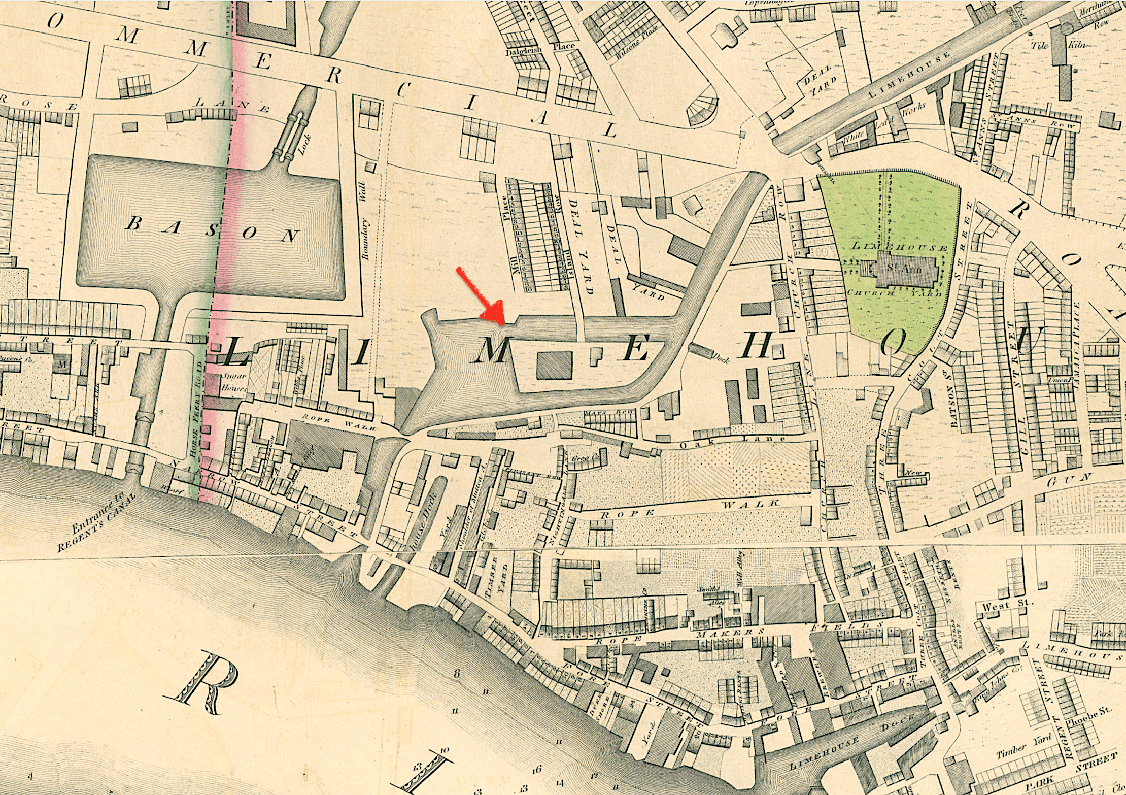
Image: The Island, Limehouse Cut
Size of this preview: 800 × 565 pixels. Other resolutions: 320 × 226 pixels | 2,219 × 1,566 pixels.
Original image (2,219 × 1,566 pixels, file size: 8.62 MB, MIME type: image/png)
Description: Horwood/Faden map of 1819 showing Limehouse in the vicinity of the Limehouse Cut. The newly constructed Limehouse Basin is to the west.
Title: The Island, Limehouse Cut
Credit: Horwood's PLAN of the Cities of LONDON and WESTMINSTER (Faden ed, 1819)
Author: Richard Horwood and William Faden
Usage Terms: Public domain
License: Public domain
Attribution Required?: No
Image usage
The following page links to this image:

All content from Kiddle encyclopedia articles (including the article images and facts) can be freely used under Attribution-ShareAlike license, unless stated otherwise.