
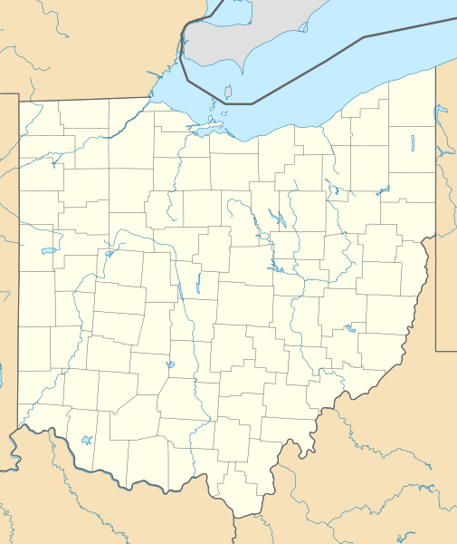
Image: USA Ohio location map

Size of this PNG preview of this SVG file: 505 × 600 pixels. Other resolution: 202 × 240 pixels.
Original image (SVG file, nominally 1,010 × 1,200 pixels, file size: 455 KB)
Description: Location map of Ohio, USA
Title: USA Ohio location map
Credit: Own work
Author: Alexrk2
Usage Terms: Creative Commons Attribution 3.0
License: CC BY 3.0
License Link: http://creativecommons.org/licenses/by/3.0
Attribution Required?: Yes
Image usage
More than 100 pages link to this image. The following list shows the first 100 page links to this image only. A full list is available.
- Abanaka, Ohio
- Achor, Ohio
- Ada, Ohio
- Africa, Ohio
- Akron, Ohio
- Allen Center, Ohio
- Alliance, Ohio
- Amherst, Ohio
- Amity, Madison County, Ohio
- Amsden, Ohio
- Andover, Ohio
- Anvil, Ohio
- Apple Creek, Ohio
- Apple Grove, Ohio
- Apple Valley, Ohio
- Arlington, Ohio
- Arlington Heights, Ohio
- Arnold, Ohio
- Arthur, Ohio
- Ashland, Ohio
- Ashley, Ohio
- Ashville, Ohio
- Athens, Ohio
- Aurora, Ohio
- Avon, Ohio
- Bacon, Ohio
- Bangs, Ohio
- Bantam, Ohio
- Batavia, Ohio
- Batesville, Ohio
- Beachwood, Ohio
- Beasley Fork, Ohio
- Beavercreek, Ohio
- Beaverdam, Ohio
- Bellaire, Ohio
- Belvedere, Ohio
- Bernice, Ohio
- Berwick, Ohio
- Beulah Beach, Ohio
- Big Plain, Ohio
- Bishopville, Ohio
- Black Horse, Ohio
- Bladensburg, Ohio
- Boneyfiddle Commercial District
- Bono, Ohio
- Botzum, Ohio
- Buena Vista, Fayette County, Ohio
- Buffalo, Ohio
- Burr Oak, Ohio
- Byer, Ohio
- Byhalia, Ohio
- Calumet, Ohio
- Campbell Hill (Ohio)
- Campbellstown, Ohio
- Canal Lewisville, Ohio
- Caroline, Ohio
- Carrothers, Ohio
- Center of the World, Ohio
- Central Avenue Historic District (Dayton, Ohio)
- Chattanooga, Ohio
- Chenoweth, Ohio
- Chili, Ohio
- Chillicothe, Ohio
- Chrisman, Ohio
- Cincinnati
- Circleville, Ohio
- Claibourne, Ohio
- Claridon, Geauga County, Ohio
- Claridon, Marion County, Ohio
- Clarkson, Ohio
- Cloverdale, Wood County, Ohio
- Coal Run, Ohio
- Cook, Ohio
- Corinth, Ohio
- Covedale, Cincinnati
- Crooked Tree, Ohio
- Crystal Rock, Ohio
- Cuyahoga Falls, Ohio
- Dayton View Historic District
- Deadman Crossing, Ohio
- Denver, Ross County, Ohio
- Devil Town, Ohio
- Dipple, Ohio
- Dola, Ohio
- Dowling, Ohio
- Dull, Ohio
- Dunbar Historic District
- Dunkinsville, Ohio
- East Danville, Ohio
- East Fairfield, Ohio
- Edenton, Ohio
- Elyria, Ohio
- Essex, Ohio
- Novelty, Ohio
- Ravenna, Ohio
- Springfield, Ohio
- Toledo, Ohio
- Youngstown, Ohio
- Template:Location map
- Template:Location map/doc

All content from Kiddle encyclopedia articles (including the article images and facts) can be freely used under Attribution-ShareAlike license, unless stated otherwise.