National Register of Historic Places listings in Sullivan County, Indiana facts for kids
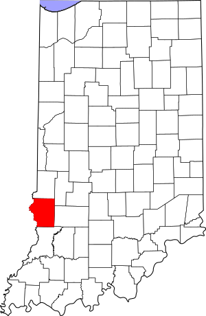
This is a list of the National Register of Historic Places listings in Sullivan County, Indiana.
This is intended to be a complete list of the properties on the National Register of Historic Places in Sullivan County, Indiana, United States. Latitude and longitude coordinates are provided for many National Register properties; these locations may be seen together in a map.
There are 11 properties listed on the National Register in the county.
Properties and districts located in incorporated areas display the name of the municipality, while properties and districts in unincorporated areas display the name of their civil township. Properties and districts split between multiple jurisdictions display the names of all jurisdictions.
Current listings
| Name on the Register | Image | Date listed | Location | City or town | Description | |
|---|---|---|---|---|---|---|
| 1 | Daugherty-Monroe Archaeological Site (12SU13) |
(#85001246) |
Northern half of Section 21 Town 8 North Range 11 West 39°07′30″N 87°38′22″W / 39.125000°N 87.639444°W |
Turman Township | ||
| 2 | Merom Site and Fort Azatlan |
(#75000052) |
North of Merom 39°03′45″N 87°34′12″W / 39.062500°N 87.570000°W |
Gill Township and Merom | ||
| 3 | Shakamak State Park Historic District |
(#00000199) |
6265 W. State Road 48, west of Jasonville 39°10′35″N 87°14′04″W / 39.176250°N 87.234500°W |
Jackson Township | Extends into Clay and Greene counties | |
| 4 | Shelburn Interurban Depot-THI&E Interurban Depot |
(#15000890) |
3 N. Railroad St. 39°10′40″N 87°23′39″W / 39.177778°N 87.394028°W |
Shelburn | ||
| 5 | Sherman Building |
(#86002712) |
2-4 S. Court St. 39°05′43″N 87°24′31″W / 39.095278°N 87.408611°W |
Sullivan | ||
| 6 | Sullivan County Courthouse |
(#08001213) |
100 Courthouse Square 39°05′42″N 87°24′28″W / 39.094903°N 87.407750°W |
Sullivan | ||
| 7 | Sullivan County Poor Home |
(#00000207) |
1447 County Road 75N, east of Sullivan 39°05′51″N 87°22′57″W / 39.0975°N 87.3825°W |
Hamilton Township | ||
| 8 | Union Christian College |
(#82000076) |
3rd and Philip Sts. 39°03′03″N 87°33′53″W / 39.050833°N 87.564722°W |
Merom |

All content from Kiddle encyclopedia articles (including the article images and facts) can be freely used under Attribution-ShareAlike license, unless stated otherwise. Cite this article:
National Register of Historic Places listings in Sullivan County, Indiana Facts for Kids. Kiddle Encyclopedia.


