Shoshone Range facts for kids
Quick facts for kids Shoshone Range |
|
|---|---|

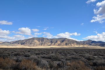
Looking east from Nevada State Route 305
|
|
| Highest point | |
| Peak | Mount Lewis |
| Elevation | 9,678 ft (2,950 m) |
| Geography | |
| Country | United States |
| State | Nevada |
| District | Lander County |
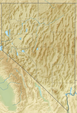
| Range coordinates | 40°21′1.701″N 116°53′4.343″W / 40.35047250°N 116.88453972°W |
| Topo map | USGS Goat Peak |
The Shoshone Range is a mountain range in Lander County, Nevada. The northeast end of the range extends into Eureka County at Shoshone Point on the Humboldt River.
The range was named from the Shoshoni language meaning "grass".

All content from Kiddle encyclopedia articles (including the article images and facts) can be freely used under Attribution-ShareAlike license, unless stated otherwise. Cite this article:
Shoshone Range Facts for Kids. Kiddle Encyclopedia.
