
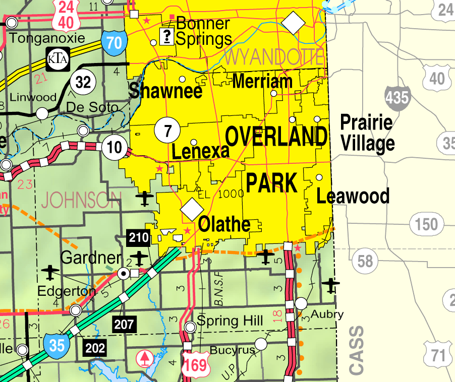
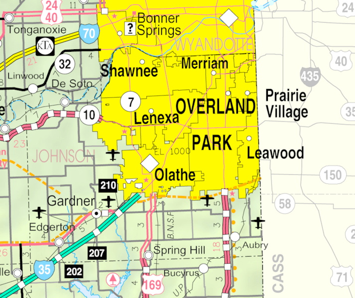
Image: Map of Johnson County, Kansas, U.S.
Description: This map of Johnson County, Kansas, U.S., is copied at a resolution of 300 pixels/inch from the original PDF file.
Title: Map of Johnson County, Kansas, U.S.
Credit: Kansas 2005–2006 Official Transportation Map [1] (map legend)
Author: Designed and published by the Kansas Department of Transportation.
Permission: This work is free and may be used by anyone for any purpose. If you wish to use this content, you do not need to request permission as long as you follow any licensing requirements mentioned on this page. Wikimedia Foundation has received an e-mail confirming that the copyright holder has approved publication under the terms mentioned on this page. This correspondence has been reviewed by an OTRS member and stored in our permission archive. The correspondence is available to trusted volunteers as ticket #2013040310012673. If you have questions about the archived correspondence, please use the OTRS noticeboard.
Usage Terms: Public domain
License: Public domain
Attribution Required?: No
Image usage
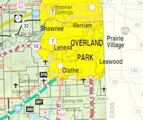
The following image is a duplicate of this image (more details):
The following 15 pages link to this image:
