
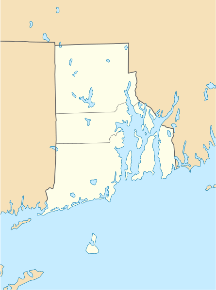
Image: USA Rhode Island location map

Size of this PNG preview of this SVG file: 445 × 599 pixels. Other resolution: 178 × 240 pixels.
Original image (SVG file, nominally 758 × 1,021 pixels, file size: 91 KB)
Description: Location map of Rhode Island, USA
Title: USA Rhode Island location map
Credit: own work, using United States National Imagery and Mapping Agency data U.S. Geological Survey (USGS) data
Author: NordNordWest
Usage Terms: Creative Commons Attribution 3.0
License: CC BY 3.0
License Link: http://creativecommons.org/licenses/by/3.0
Attribution Required?: Yes
Image usage
More than 100 pages link to this image. The following list shows the first 100 page links to this image only. A full list is available.
- 1761 Milestone
- Admiral Fitzroy Inn
- Alexander Van Rensselaer House
- Allenville Mill Storehouse
- American Brewing Company Plant
- American Supply Company Building
- Andrews Mill Company Plant
- Arkwright Bridge
- Armory of the Kentish Guards
- Army and Navy YMCA
- Art's Auto
- Artillery Company of Newport
- Ashaway, Rhode Island
- Barrington, Rhode Island
- Beavertail Lighthouse
- Beavertail State Park
- Bell Street Chapel
- Bellevue Avenue Historic District
- Benjamin Church House (Bristol, Rhode Island)
- Benoni Rose House
- Bicknell–Armington Lightning Splitter House
- Blackstone Canal
- Blackstone River Valley National Historical Park
- Block Island Southeast Light
- Bradford, Rhode Island
- Brenton Point State Park
- Bristol Customshouse and Post Office
- Burlingame State Park
- Camp Varnum
- Candace Allen House
- Carolina, Rhode Island
- Casey Farm
- Charles Payne House
- Charlestown (CDP), Rhode Island
- Charlestown Breachway State Beach
- Chateau-sur-Mer
- Clarke Street Meeting House
- Clemence–Irons House
- Clement Weaver–Daniel Howland House
- Collyer Monument
- Colt State Park
- Commodore Oliver Perry Farm
- Corliss–Carrington House
- Coronet (yacht)
- Crescent Park Looff Carousel
- Crompton Mill Historic District
- Cumberland Town Hall Historic District
- Daggett House
- Downtown, Providence, Rhode Island
- Dunmere (Narragansett, Rhode Island)
- East Providence, Rhode Island
- Elmwood, Providence, Rhode Island
- Esmond, Rhode Island
- Fisherville Historic and Archeological District
- Forestdale, Rhode Island
- Foster Center, Rhode Island
- Georgiaville, Rhode Island
- Hamilton Mill Village Historic District
- Harrisville, Rhode Island
- Hope Valley, Rhode Island
- Hope Village Historic District
- Hopkinton (CDP), Rhode Island
- Hopkinton City Historic District
- Kierieian, Rhode Island
- Kingston, Rhode Island
- Lafayette Village
- Lake Washington (Providence County, Rhode Island)
- Lime Rock, Rhode Island
- Melville, Rhode Island
- Misquamicut, Rhode Island
- Moosup Valley Historic District
- Mount Hope (Rhode Island)
- Narragansett Pier, Rhode Island
- Newport East, Rhode Island
- Nooseneck, Rhode Island
- Oaklawn, Rhode Island
- Pawtucket, Rhode Island
- Pawtuxet Village
- Peace Dale, Rhode Island
- Quonochontaug, Rhode Island
- Renaissance Providence Hotel
- Rice City Historic District
- Rockville, Rhode Island
- Rumford, Rhode Island
- Saylesville, Rhode Island
- Shannock Historic District
- Slatersville, Rhode Island
- Smithville – North Scituate, Rhode Island
- The Anchorage, Rhode Island
- Tiverton (CDP), Rhode Island
- Tiverton Four Corners Historic District
- Union Village, Rhode Island
- Wakefield, Rhode Island
- Wanskuck Historic District
- Weekapaug, Rhode Island
- Westerly (CDP), Rhode Island
- White Horse Tavern (Newport, Rhode Island)
- Wickford, Rhode Island
- Wightmans Corner, Rhode Island
- Windmill Hill Historic District

All content from Kiddle encyclopedia articles (including the article images and facts) can be freely used under Attribution-ShareAlike license, unless stated otherwise.